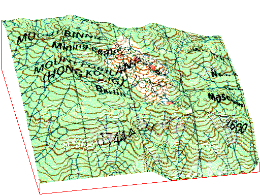
Ok Tedi Mine - Digging a Pit
The digital elevation model of Mt. Fubilan demonstrates the stages of mining.
The DEM was produced by digitizing the contours from the topographic map,
scale 1:100,000, provided by the National Mapping Bureau of PNG. The DEM
first is draped by the topographic map and then by an aerial photograph
(source NMB), both representing the situation in 1973. The view is from
south, 10° to west. The top of the DEM is at 2200 m, the base at 1200
m above sea level. (Tabubil is located on an 800 m plateau).
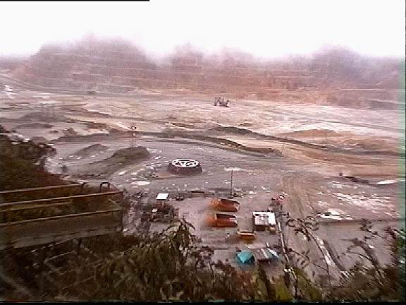
The animated pictures scetch the progation of the pit from the first removal
of the gold cap in 1984 to the final depth of the bottom at 1300 m in 2010.
At the time of our vistit, the bottom was marked at 1700 m.
Step for step the hole is blasted into the ground
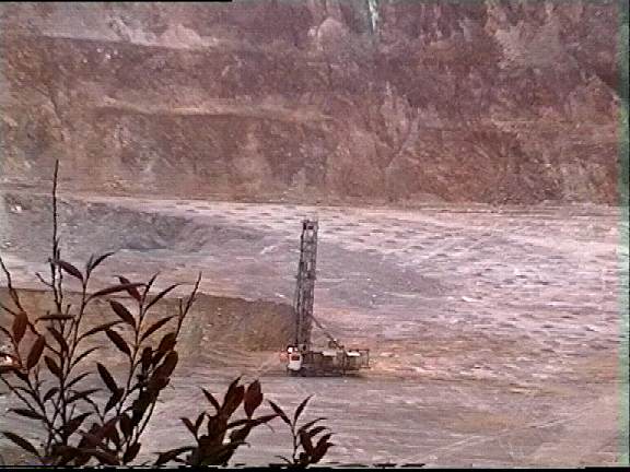
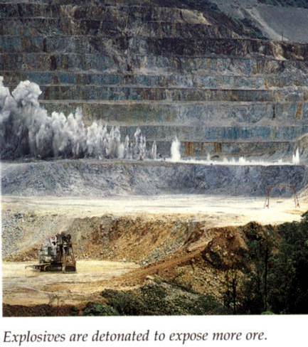
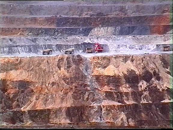
Step by step
 Dumping
the Waste Dumping
the Waste
 Index
of Ok Tedi pages Index
of Ok Tedi pages
 back
to Homepage back
to Homepage
|

 rettet-die-elbe.de